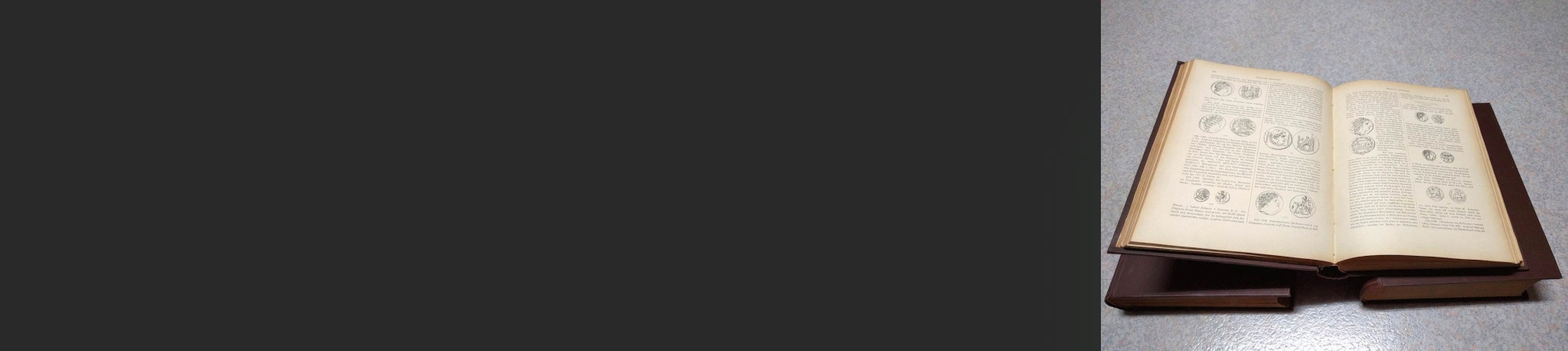
(ca. 1937). Folio. 2 maps. Wrappers. 58×38 cm (Including the original publisher’s paper cover. Maps only. The first map shows the trajectory of the aquaduct from Uzès to Nîmes) (Faint fold breadthwise)

Dressée sous la direction de M. Adrien Blanchet. Fascicule VIII: (‘un plan de Nîmes antique et une carte qui présente le tracé de l’aqueduc, dit du Pont-du-Gard’).
€ 26,00
🔒 Safe & Secure Checkout


| Gewicht | 2000 g |
|---|---|
| Publisher | |
| SortedBy |
Gerelateerde producten
-
Les fouilles d’Alba Fucens (Italie Centrale) de 1951 à 1953.
€ 29,00 -
THOMPSON,H.A. The Stoa of Attalos II in Athens.
€ 7,00 -
THOMPSON,D.B. The Athenian agora. An ancient shopping center.
€ 7,00 -
Ai confini dell’Imperio: contatti, scambi, conflitti. 15: Atti del XV convegno di studio. Tozeur, 11-15 dicembre 2002. A cura di M. KHANOUSSI, P. RUGGERI & C. VISMARA.
€ 82,00 -
L’Afrique romaine.
€ 8,00 -
The Athenian agora. A guide to the excavation and museum. Third edition revised & enlarged.
€ 12,00 -
Bericht über die Literatur der antiken Plastik (1903-1907).
€ 8,00 -
Deutsches Archäologisches Institut.
€ 38,00 -
Vintimille – Bordighera. 2-5 Oct. 1964.
€ 13,00 -
Das frühe Rom und die Latiner.
€ 10,00